news Alerts
There are no new alerts at this time
A powerful storm system continues to disrupt travel, placing 52 million people under winter weather alerts from the northern Plains to New England.
Over 5,000 flights were delayed and more nearly 500 were canceled into or out of the United States by midday Sunday.
The Federal Aviation Administration has issued a ground delay at Minneapolis-Saint Paul International Airport due to weather. It is expected to last until 11:59 p.m. CST with an average delay of 3 hours and 9 minutes.
Snow was falling in parts of Colorado, Wisconsin and Minnesota on Sunday morning, while rain stretched from Iowa into the Ohio Valley, bringing gusty winds and lightning to some areas.
A video taken in the Minneapolis area on Sunday morning shows heavy snow falling onto an already snow-covered ground.
A strong line of storms is projected to develop Sunday evening from the Great Lakes into the mid-South, potentially causing travel delays in Chicago, Indianapolis, Detroit and Memphis.
Five million people across Illinois, Indiana and northwest Kentucky remain under a slight risk for severe weather that could produce damaging wind gusts, large hail and multiple tornadoes.
As of Sunday afternoon, 5 preliminary storm reports have come in across central Illinois.
Wind alerts are in effect for 138 million people across the country, with gusts expected to range from 35 to 45 mph. Gusts could reach up to 65 mph locally.
Affected cities include Dallas, New Orleans, St. Louis, Chicago, Buffalo, and Philadelphia.
This system will bring snow and rain to the Midwest and Great Lakes on Sunday afternoon, lingering into Monday morning.
Parts of Iowa, Minnesota and the Dakotas will experience blizzard conditions from high snowfall rates and 40 mph wind gusts, making travel difficult.
Wisconsin and the Upper Peninsula of Michigan are also expected to see hazardous travel conditions through the overnight hours.
Wraparound snow will target parts of Michigan and the eastern Great Lakes through Monday.
Residual lake-effect bands will persist downwind of Lake Erie and Ontario through Tuesday, bringing 3 to 6 inches of snow with up to 14 inches locally.
The Upper Midwest is forecast to receive 3 to 9 inches of snow, with localized amounts of up to 20 inches.
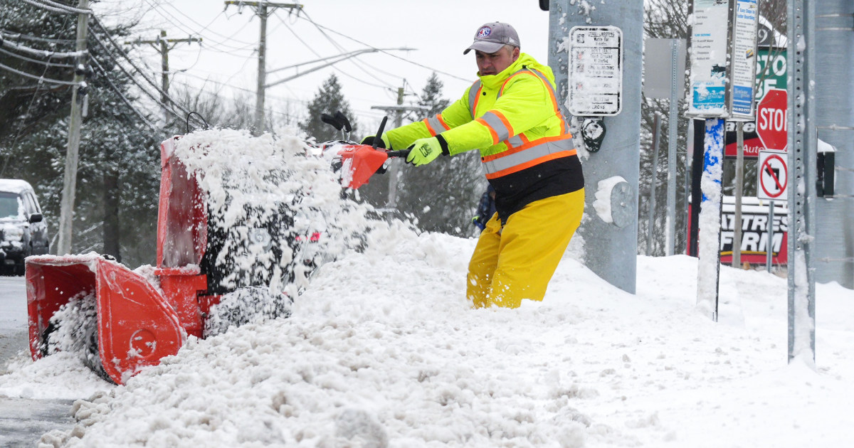
Freezing rain was hitting parts of Pennsylvania and New York on Sunday afternoon, and will continue to push through the Northeast overnight.
The system will linger over New England through Monday evening before moving offshore by early Tuesday morning.
Power outages and hazardous travel conditions are possible from northern Pennsylvania through Maine, as ice accumulations could reach 0.2 to 0.5 inches.
Kate Reilly is a news associate with NBC News.
Christine Rapp is a meteorologist for NBC News.
© 2025 NBCUniversal Media, LLC


